Geographic Information Systems (GIS) Data Integration That Drives Efficiency & Productivity.

Geographic Information Systems (GIS) blends creativity and science, deepening our understanding of the ground beneath our feet and all that surrounds us. GIS offers far more insight than an ordinary map—it tells the story of the earth. Utilizing GIS, we get a visual representation of complex thoughts and analyses which reveal valuable insights that support better decision-making for our staff and clients.

Geographic Information System map of industrial port and surrounding buildings and typography

We actively engage with clients to transform raw spatial data into actionable intelligence across the entire project lifecycle. Combining field data collection (using GPS, ArcGIS Field Maps, and Survey123) with CAD, LiDAR, and environmental base layers, our team builds robust, geographically accurate spatial databases tailored to strict client and regulatory standards. From site selection, routing analysis, and infrastructure impact calculations to high-impact visualizations for public involvement and permitting, we connect field teams, office staff, and clients through seamless spatial workflows, ensuring better data, faster decisions, and more efficient project delivery. 

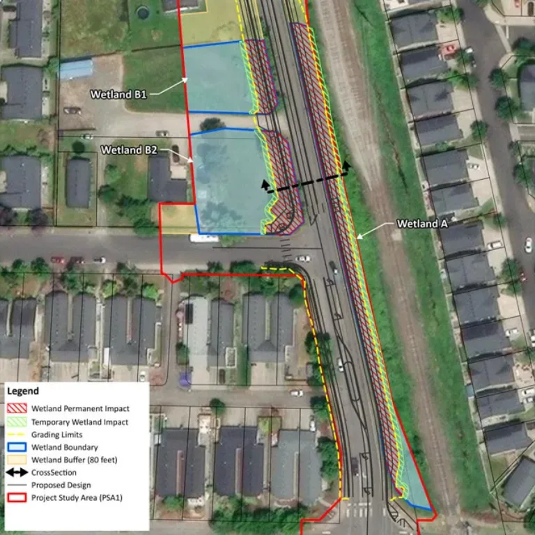
Geographic Information Systems (GIS) map of wetlands

We actively engage with clients to transform raw spatial data into actionable intelligence across the entire project lifecycle. Combining field data collection (using GPS, ArcGIS Field Maps, and Survey123) with CAD, LiDAR, and environmental base layers, our team builds robust, geographically accurate spatial databases tailored to strict client and regulatory standards. From site selection, routing analysis, and infrastructure impact calculations to high-impact visualizations for public involvement and permitting, we connect field teams, office staff, and clients through seamless spatial workflows, ensuring better data, faster decisions, and more efficient project delivery. 

Geographic Information Systems (GIS) map of wetlands

Our GIS Services

  • Insights & Analytics

    • Aggregating Disparate Spatial Files into Organized Central Geodatabases
    • Running Spatial Analysis Queries to Rank Properties for Commercial Site Selection
    • 3D Temporal-Spatial Tracking of Environmental Contaminants Over Time
    • Field Data Collection for Infrastructure/Asset, Wetland, Water, & Wildlife Habitat Mapping
    • Site Selection, Routing Analysis, Infrastructure Siting, & Impact Assessments
  • Planning & Design

    • Building Custom Data Models to Run Network Traces on Municipal Utility Grids
    • Overlaying Environmental, Zoning, & Terrain Data to Map Buildable Footprints
    • Creating Clean Layout Maps For Key Issues, Public Presentation Documents, & Project Displays
  • Compliance & Permitting

    • Providing Spatial Metadata Validation to Ensure Data Matches State/Federal Standards
    • Generating Precise Land-Use Acreage Calculations Required for Regulatory Environmental Impacts
    • Hosting Cloud-Based Permit Tracking Maps for Regional Agency Visibility
  • Project Delivery

    • Developing Custom Mobile Apps (Esri Field Maps) for Asset Maintenance Crews
    • Deploying Web-GIS Dashboards for Executives to Monitor Construction Workflows
    • Packaging Final Asset Databases for Clean Delivery into Client's Enterprise GIS
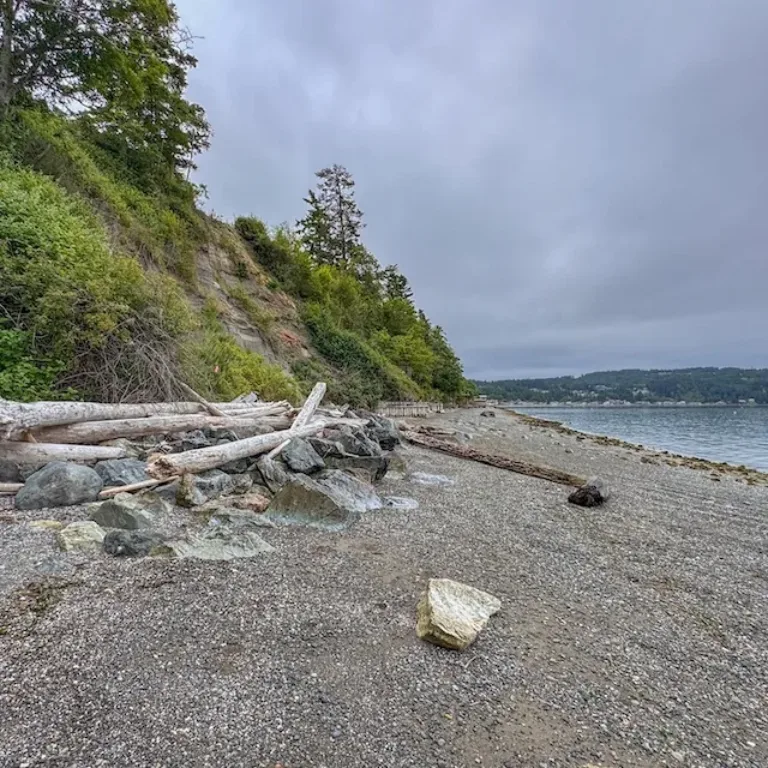
Rocky shoreline with driftwood beneath a forested bluff, overlooking calm water under an overcast sky
Smiling woman with long brown hair wearing a black MacKay-branded shirt

Jennifer Dopp

GIS Analyst

“The great thing about working in GIS is that it isn’t relegated to a single industry or service. Every project brings a new challenge that pushes me to continuously learn and adapt. I love that my work gives me the opportunity to partner with an incredible mix of clients and talented team members to deliver impactful solutions across so many different fields.