Land Surveying Mapping Success, One Survey at a Time.

Foundational to our firm, we have been providing land surveying services since our first project in 1974. With our deeply experienced private land surveying team, we serve a variety of industries over a broad geographic range—bringing both technical expertise and deep knowledge of local conditions, regulations, and requirements.

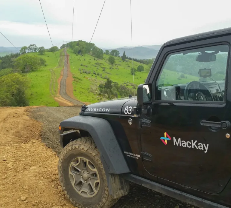
Transmission lines on tall utility towers stretch through a lush, evergreen hillside in soft morning light.

Working concurrently, our field surveyors and office personnel work together to accurately map the topography and define the legal aspects of the land. Our unified team ensures you have a record that will withstand the tests of time and scrutiny. You can trust designs based on our maps. No assignment is too complex, too remote, or too demanding for our team. We are prepared to serve any state in the country—and our firm is one of the few in the nation with the skills and security clearances to work for large public and private energy providers, port authorities, and Federal Aviation Administration (FAA) airports.

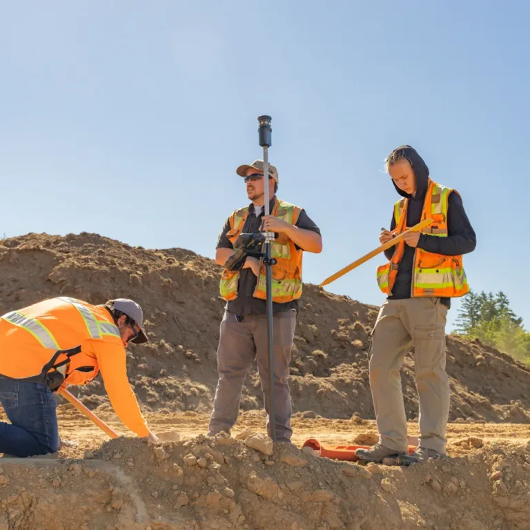
MacKay field crew surveying a construction site, with three workers in high-visibility vests—one kneeling to mark the ground, one holding a GPS survey rod, and one recording measurements—amid dirt mounds under a clear sky.

Working concurrently, our field surveyors and office personnel work together to accurately map the topography and define the legal aspects of the land. Our unified team ensures you have a record that will withstand the tests of time and scrutiny. You can trust designs based on our maps. No assignment is too complex, too remote, or too demanding for our team. We are prepared to serve any state in the country—and our firm is one of the few in the nation with the skills and security clearances to work for large public and private energy providers, port authorities, and Federal Aviation Administration (FAA) airports.

MacKay field crew surveying a construction site, with three workers in high-visibility vests—one kneeling to mark the ground, one holding a GPS survey rod, and one recording measurements—amid dirt mounds under a clear sky.

Our Land Surveying Services

  • Insights & Analytics

    • Boundary Retracement & ALTA/NSPS Title Surveys for Real Estate Transactions
    • Topographic & Utility Mapping to Establish Existing Site Baselines
    • High-Density Mobile Lidar Scanning & Aerial Drone Photogrammetry
    • Bathymetric & Fish Passage Mapping
  • Planning & Design

    • Establishing High-Accuracy Geodetic Horizontal & Vertical Control Networks
    • Preparing Preliminary Subdivision Plats & Legal Easement Descriptions
    • Creating 3D Digital Terrain Models (DTMS) to Serve as Design Backgrounds
    • Route Surveying for Transmission Line Corridors & Access Roads
  • Compliance & Permitting

    • Verifying Property Boundary & Setback Compliance Against Local Zoning Ordinances
    • Preparing Legal Exhibits for Public Right-of-Way Vacations & Dedications
    • Submitting Final Subdivision Plat Maps to County/State Agencies for Recording
    • Ensuring Compliance with American Land Title Association (ALTA) & Federal Aviation Administration (FAA) Requirements
  • Project Delivery

    • On-Site Construction Stakeout & Slope-Staking for Grading & Utility Contractors
    • As-Built Field Verification Surveying of Finished Infrastructure Elements
    • Automated Machine Guidance (AMG) 3D Model Preparation for Smart Grading Equipment
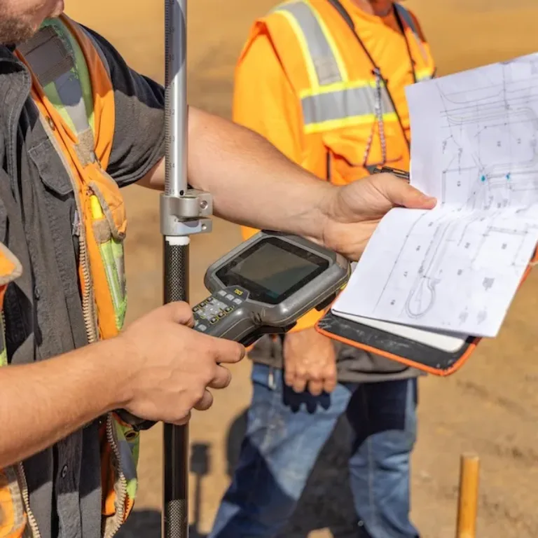
Surveyors in safety vests use a surveying instrument while reviewing a technical site plan
Man in a light blue button-down shirt facing the camera

Tony Chenier

Land Survey Manager

“Our surveyors work alongside our engineers, planners, and construction professionals from the start. That collaboration gives our clients a more complete understanding of their site and helps create solutions that are practical, accurate, and buildable.”